
From Above
Drone Capture
Commercial Drone Services
Data Acquisition. From Above.
Locally serving the greater St. George, UT area. Please inquire about interstate travel and any long term projects.
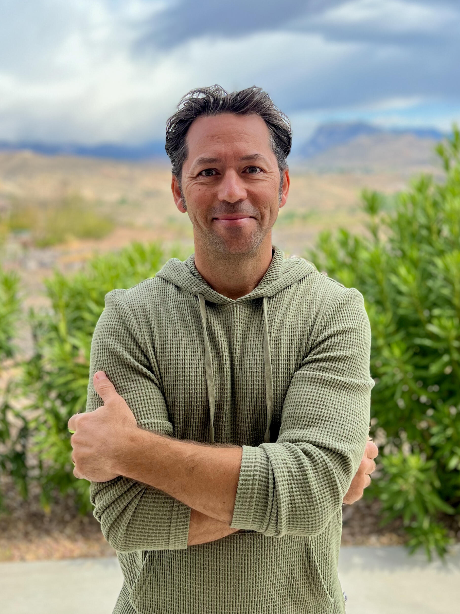
About Me
The purity and authenticity of a craft. Husband, father, eagle scout, Alaska glacier guide, international tour leader, beverage manufacturer, property manager, real estate rehabber, world traveller, adventure seeker, and of course commercial drone pilot. These are some of my life experiences I've been blessed with. More than a resume, I hope every experience is an opportunity for me to sharpen my craft. My name is Cory Anderson.
My Work
Specializing in aerial data capture and data processing for Architecture, Engineering, & Construction projects
Project Planning & Design
Survey site conditions with highly accurate topography mapping
Better decision making
More accurate project cost estimation
Foresee problems
Earth Works
Measure how much dirt has been moved & manage billing accordingly
Calculate cut & fill volumes
Perform accurate haul cost estimates
Quickly share progress with team
Construction Monitoring & Progress Tracking
Create a chronological record of the project
Confirm subcontractor work easily
Prevent & solve disputes
Enhance communication between, surveyors, engineers & architects
As-built documentation
Get regular as-built updates of your site in 2D & 3D
Visualize, measure, and track changes
Compare as-built vs as-designed
Click on the images to view a portfolio my projects
808-283-4800
Thank You
I will get back to you in a timely manner